To a degree. The current approach is to rate floods at 100, 300 or 1000 year events with the lower numbers occurring more often and being less severe. The 1997 flood was a 1000yr event, and the 2011 flood a 300 year event. Most serious floods here are 100yr events and cause widespread, but reasonably easy to manage crises.
Several factors come into play when flood forecasting: the amount of fall rain and ground saturation coupled with the first freeze date, the winter snow cover, and upstream events in North Dakota; to name a few. Flood forecasts can change at a moments notice if there is a large late season snowfall with very cold weather that prevents runoff. This last factor was what precipitated the flood of 2011 which had initially been rated at 100yr but was much worse. The recent reduction in flood damages are due to several initiatives: widening the mouth of the Floodway where it drains into Lake Winnipeg, completion of the Brunkild dyke, and extension of the Portage diversion for example. As each of these projects nears completion, the degree of flood damage should lessen. That being said, there are some towns like Morris, that will continue to be at risk, as will some farms. The Red River drainage basin is massive, taking up most of lower MB and some of lower SK, and flooding can occur anywhere within its boundaries.
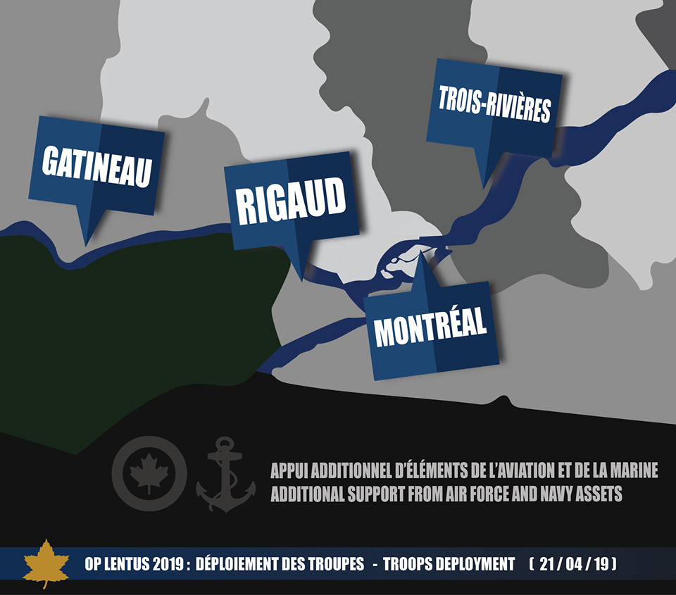
Link to map.