- Reaction score
- 7,346
- Points
- 1,160
From here

 breakingdefense.com
to here.
 marss.com
With a side trip to here.
 breakingdefense.com
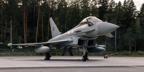
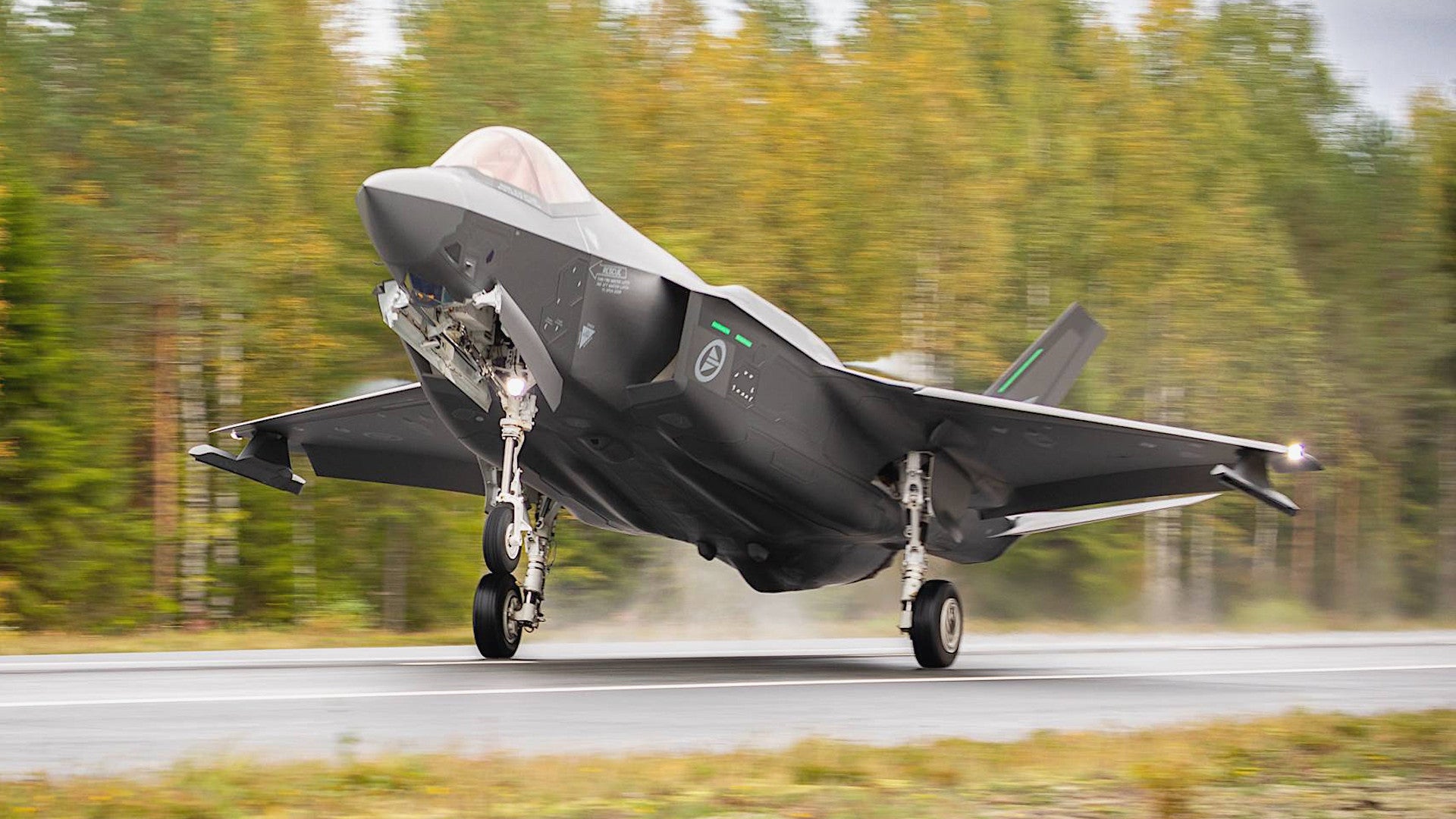
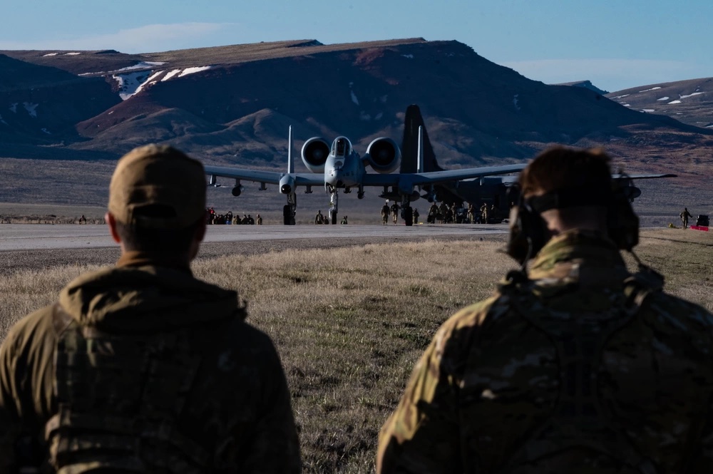
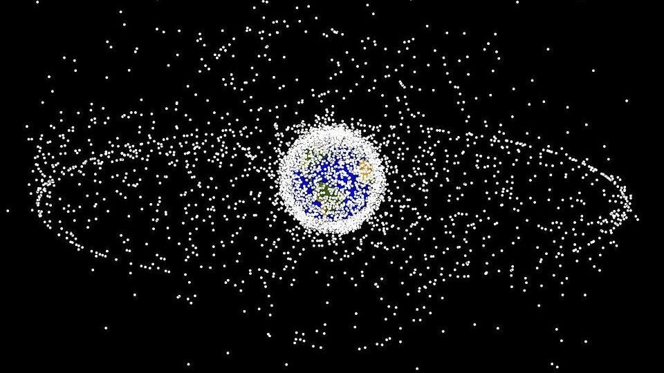
Where does the civil begin and the military end?
How high is up?
From birds on the runway to High Earth Orbit. The flyers could be civil or military on any given day, manned and unmanned, with the odds favouring it being a civil user.
0 to 40,000 km ASL.
Manned, unmanned and debris, with or without hostile intent.
Trying to integrate NORAD with NAVCan GBAD, the RCA, the RCN, the RCAF and the Canadian Space Agency.
I'd sooner the government were spending cash on trying to figure that out than hiring new bureaucrats.
European firm to add C2, situational awareness tech to Emirati unmanned vessels - Breaking Defense
The integrated USV system is meant to demonstrate command and control capabilities, and provide marine security features including situational awareness and automatic threat detection.
breakingdefense.com
to here.
MARSS | NiDAR X
NiDAR X has been designed to help protect your surrounding regardless of location, making surveillance seamless, intelligence, and continuous.
With a side trip to here.
Pentagon plans to transfer 'high accuracy' space tracking data to Commerce - Breaking Defense
"Commercial data, commercial processing is not classified. It does not matter that the DoD wishes it were," said Barbara Golf, special advisor to Space Systems Command.
breakingdefense.com
Where does the civil begin and the military end?
How high is up?
From birds on the runway to High Earth Orbit. The flyers could be civil or military on any given day, manned and unmanned, with the odds favouring it being a civil user.
0 to 40,000 km ASL.
Manned, unmanned and debris, with or without hostile intent.
Trying to integrate NORAD with NAVCan GBAD, the RCA, the RCN, the RCAF and the Canadian Space Agency.
I'd sooner the government were spending cash on trying to figure that out than hiring new bureaucrats.